FAQ’s
-
There is no fixed itinerary for our trips. Where we paddle depends very much on the strength and direction of the wind. If the winds are light, we have more choice, so we may base it on your preferences. If you could let us know where you would prefer to meet and travel on the water, we will see if it will work, given the weather. Also, if you have any transport constraints, it would help to know this as well. If it's a bit windy, we go for the place where we get the best shelter.
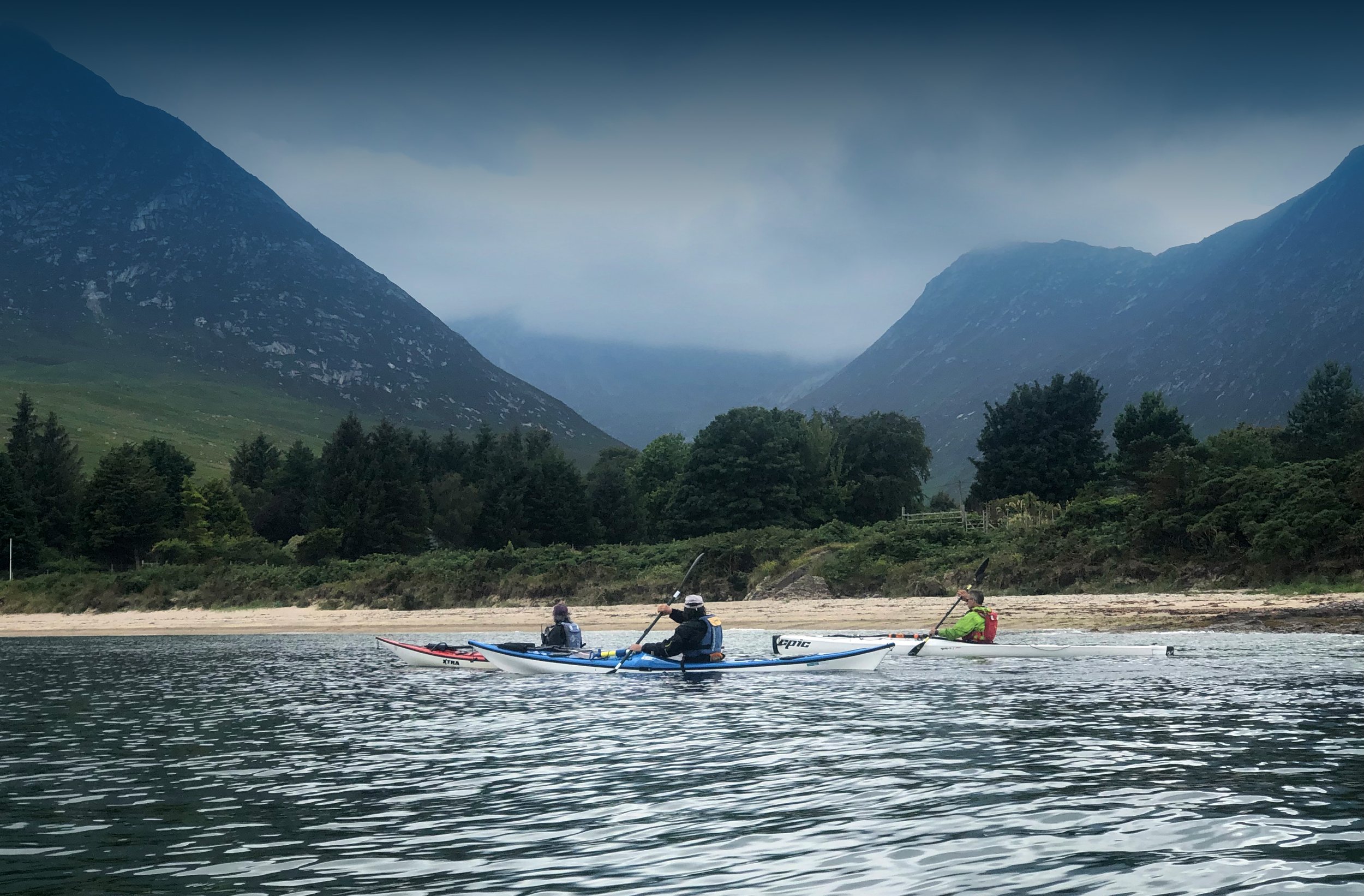
There is an abundance of wildlife and lovely scenery all round Arran's coast. Within the constraints of the weather, we're very much open to explore where you want to explore, stop to appreciate the flora and fauna we spot or play games. We go at your pace and there are plenty of opportunities to land and take a break, or a closer look at a point of interest.
-
We are happy to take children on the water as long as at least one of their parents or a legal guardian will be a member of the paddling group too (this is for insurance purposes). We have double kayaks each of which may have an adult and child. Also, we have children's boats which have been successfully used by children from age six when the winds have been light. If it's calm and warm, a five year old may well enjoy one of the small boats too. However, if it's breezy, children usually find being in the front of a double kayak a better option.
For children of all ages, it helps a lot if they are happy to sit still in their boat. Mind you, we do make a point of giving you the option of playing games which may involve getting wet if the weather is favourable and we are close to shore and a change of clothes in case anyone gets cold.
If you do make a booking, you, your family and the leader would be the only people in the group meaning we could go at your pace. The distance covered could be from a few hundred metres with many stops to explore the shoreline to several kilometers.
-
Regarding whether we would recommend a half of a full day trip. Both would are suitable for most people. There is no set distance for our tours and we give you the option of taking plenty of breaks to stretch your legs. On a full day, it's possible to explore the coast more thoroughly. For example, if the weather's calm, Kildonan would be an option and a full day would give us the possibility of stopping at Seal Shore, the Black Cave, Pladda (with time to explore the lighthouse) and Silver Sands beach. Taking a half day from that start point might only give us time to explore Pladda and perhaps see the Black Cave from the water .
-
We supply the following equipment:
- Boat (single or double, touring kayak or sea kayak, please contact us in advance if you have a preference))
- Paddle (flat "Euro" or Wing blades)
- Buoyancy Aid
- Drytop
- Sleeveless wetsuit
- Spraydeck (optional for coastal trips, dependent on weather)
- Wetshoes
- Neoprene socks
- Mitts (gloves that attach to the paddle shaft)
-
Please bring the following with you:
- drinks
- any medicines you may need (e.g. an inhaler or epipen)
- suncream, hat & sunglasses (especially for when it's sunny)
- spare layers (e.g. a fleece)
- snacks
- glasses strap(s) (for your glasses/sunglasses)
- spare clothing (to change into at the end of the trip)
For comfort, you may wear a base layer under the wetsuit (e.g. leggings and a sports tee shirt) or a swimsuit.
-
The car park by the beach behind the smaller of Brodick's two Co-op stores, postcode KA27 8AJ.
Typical routes:
- up the Rosa Burn and Glencloy Water, through the golf course and (if the tide's high enough) a tree-lined stretch as it passes towards the garden of the Heritage Museum.
- east, past the ferry terminal, towards Corriegills where there is an attractive shoreline and sheltered places to land for a break.
- north, towards Brodick Castle, the Arran Botanicals beach, Wine Port and Merkand Bay.
-
The slipway by the Whiting Bay primary school, postcode KA27 8PZ.
Typical routes:
- North towards Kingscross Point with views of Holy Isle and
- South to Largybeg with views of Ailsa Craig.
-
The car park by the beach next to the COAST Discovery Centre tennis courts, Lamlash, KA27 8LS.
Typical routes:
- south to Kingscross point's Viking fort.
- From there we may visit Holy Isle's St. Molaise's cave and the Buddhist monks' modestly titled Centre for World Peace and Health.
- north east along the shore past Lamlash to the Outdoor Centre towards Hamilton Rock and we may see seals at the far end of the village.
-
LAMLASH, SHORE ROAD
The car parking area at the far eastern end of Shore Road, beyond the Arran Outdoor Education Centre, postcode KA278PL. See the following Google Maps link to show the location:
https://goo.gl/maps/5LBiu8ikabJc1PhG7
Tyipcal routes:
- south to Holy Isle
- east to Hamilton Rock
-
Fishermans Walk car park in Cladach, next to the Arran Mountain Rescue Team's building, postcode KA27 8DE. Cladach is at the north west corner of Brodick Bay.
Typical routes:
We may be able to paddle past the Arran Botanicals beach cafe, the Wine Port and Merkand Bay.
-
The car park of Shiskine Golf Club, Blackwaterfoot, nearest postcode KA27 8HA.
Typical routes:
From here we could visit the Drumadoon cliffs and head towards the Kings Caves via a possible visit to the fossilised chirotherium (hand beast) footprint. Alternatively, me may paddle south, explore Blackwaterfoot's harbour, Kilpatrick beach and the Preachers' Cave.
-
Blackwaterfoot harbour, by the Kinloch Hotel car park, postcode KA27 8ET.
Typical routes:
From here we could visit the Drumadoon cliffs and head towards the Kings Caves via a possible visit to the fossilised chirotherium (hand beast) footprint. Alternatively, me may paddle south and explore Kilpatrick beach, the Preachers' Cave and the cliffs that head towards Corriecravie and the Torr a Chaisteil iron age fort.
-
The car park opposite the village hall at Kildonan, postcode KA27 8SE.
Typical routes:
We may be able to paddle in the following directions:
- west past Seal Shore and to the Black Cave
- east past the village, Silver Sands beach the remains of Kildonan Castle
- south to the isle of Pladda with its numerous birds and lighthouses. It may be possible to land on the island and explore.
-
The southern Corrie harbour, close to the Corrie & Sannox Village Hall, KA27 8JB.
Typical routes:
- South to Smugglers’ Cove (where we can land as per the whisky smugglers of old)
- north to the harbours of north Corrie and south Sannox with views of the hill Cioch na h-Oighe and the isle of Bute.
-
The spit of land leading to Lochranza Castle, postcode KA27 8HL.
Typical routes:
- south, to Catacol.
- north to Hutton's Unconformity and Fairy Dell cottage.