
We are mobile!
We travel from our base in Shiskine to launch points around the island in our Transit minibus towing a wide selection of boats on our trailer.
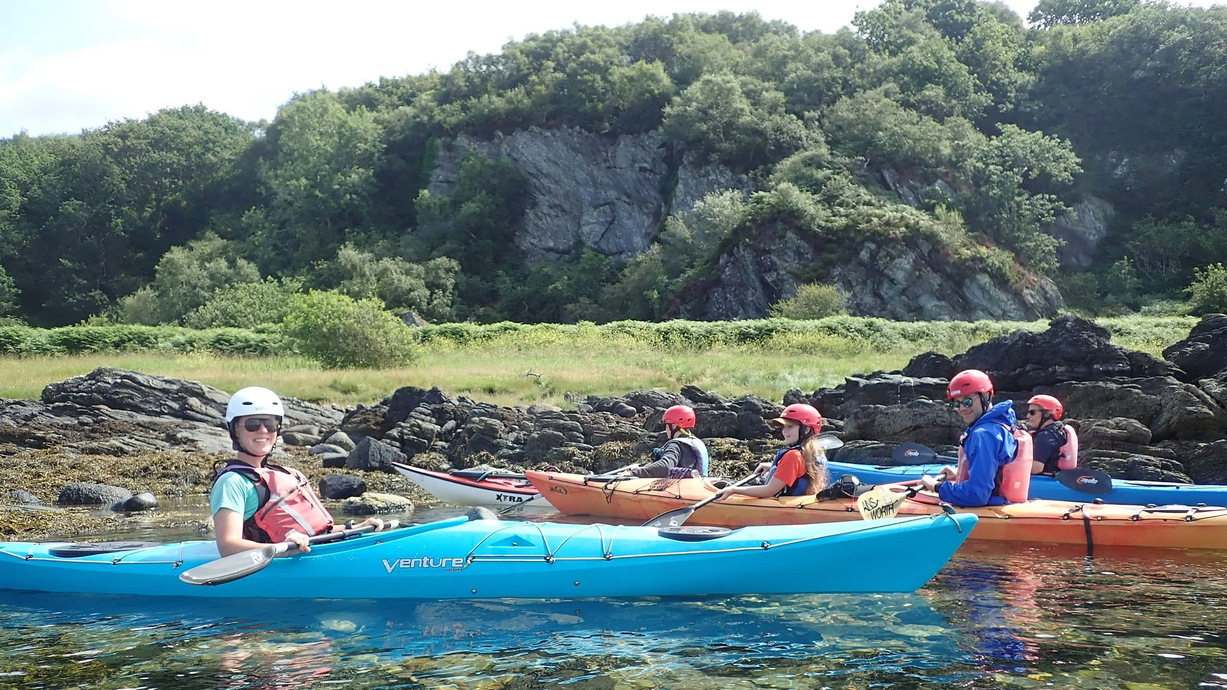
There is no fixed itinerary for our trips. Where we paddle depends very much on the strength and direction of the wind. If the winds are light, we have more choice, so we base it on your preferences. If it's a bit windier, we go for the place where we get the best shelter. There is an abundance of wildlife and lovely scenery all round Arran's coast. Within the constraints of the weather, we're very much open to explore where you want to explore, stop to appreciate the flora and fauna we spot or play games. We go at your pace and there are plenty of opportunities to land and take a break, or a closer look at a point of interest.

Brodick
From the car park behind the smaller of Brodick's two Co-ops (postcode KA27 8AJ). We will be able to paddle in the following directions:
- east, past the ferry terminal, towards Corriegills where there is an attractive shoreline and sheltered places to land for a break.
- up the Rosa Burn, through the golf course and then a tree-lined stretch as it passes the garden of the Heritage Museum.
- north, towards the Arran Botanicals beach, Wine Port and Merkand Bay. Brodick offers good shelter from winds from south east to north west.

Lamlash
From the car park by the beach next to the COAST Discovery Centre tennis courts, Lamlash, KA27 8LS.
- Holy Isle From there we may visit Holy Isle's St. Molaise's cave and the Buddhist monks' modestly titled Centre for World Peace and Health.
- west past Lamlash with it's pier to the No Take Zone (https://www.arrancoast.com/no-take-zone/) and often seals. Next we could either head further to Hamilton Rock
- south to Kingscross point's Viking fort via Arran’s only mussel and controversial salmon farms. Lamlash offers shelter from south west to the northerly winds.

Blackwaterfoot
We will meet in the car park of Shiskine Golf Club, Blackwaterfoot, nearest postcode KA27 8HA. From here we could visit:
- Drumadoon cliffs and head towards the Kings Caves via a possible visit to the fossilised chirotherium (hand beast) footprint.
- south, explore Blackwaterfoot's harbour, Kilpatrick beach and the Preachers' Cave. Blackwaterfoot offers shelter from north easterly and easterly winds.

Whiting Bay
From the slipway by the Whiting Bay primary school (postcode KA27 8PZ). From the start point, we have options of travelling:
- north towards Kingscross Point and Holy Isle.
- south to Whiting Bay’s pier & cafe, Largybeg and Kildonan with views of Ailsa Craig. Whiting Bay offers shelter from south west to north westerly winds.

Kildonan
From the village hall at Kildonan. The postcode is KA27 8SE. From there:
- west to seal shore and it’s large colony of seals, waterfall and the Black Cave
- south to the isle of Pladda where it may be possible to land in it’s harbour and walk round the lighthouse.
- west to Kildonan castle and the cliffs with a waterfall and Largybeg.

Corrie
Corrie's south harbour to have a journey either north to Sannox or south to Merkland. We could meet at the southern Corrie harbour, close to the Corrie & Sannox Village Hall, KA27 8JB, where we could paddle south to Smugglers’ Cove (where we can land as per the whisky smugglers of old) or north to the harbours of north Corrie and south Sannox with views of the hill Cioch na h-Oighe and the isle of Bute.

Sannox
South Sannox's harbour to have a journey either north to North Sannox & Fallen Rocks or south to Corrie.

Lochranza
Lochranza to travel: - north to Hutton's Unconformity, Fairy Dell and the Cock of Arran - south to Catacol.

Machrie
Visit Kings Caves from the north. A shorter route to the caves, ideal when there’s a south easterly wind. Alternatively, travelling north to Imachar in easterly or north easterly winds.
Imachar
Beautifully remote, Imachar offers some of Arran's most spectacular coastal scenery. Towering cliffs, secluded rocky inlets and abundant wildlife stretch north from the launch point to the wide sandy beach at Whitefarland. Launching from a small, sheltered bay just below the lay-by on the coast road, you'll soon leave all signs of civilisation behind as the road climbs inland and disappears from view.
The coastline to the north is our most rugged, with dramatic rocky outcrops (dykes) separated by calm, sheltered coves. These peaceful inlets provide ideal places to pause, take in the scenery and enjoy the rich coastal vegetation and abundant wildlife.
Best suited to easterly to north-easterly winds, the coastline offers excellent shelter.
From Imachar, it is also possible to paddle south towards Dougarie, following a shoreline dotted with smooth granite boulders where seals are frequently seen hauled out to rest. The coast here is backed by steep, wooded slopes containing remnants of Arran's ancient woodland, part of the once extensive temperate rainforest that covered much of western Europe.
Perfect for paddlers seeking solitude, dramatic scenery and one of Arran's wildest stretches of coastline.